- Home
- >
- Preservation Archaeology Blog
- >
- Finding Friends in Low Places
(April 3, 2020)—This marks my twentieth year as a practicing professional archaeologist. As many people do when they reach such a milestone, I’ve been looking back on my career, remembering the ups and downs and reminiscing about the highs and lows. My career path has led me not just from east to west, but from high to low…quite low, in fact.
In 2000 I left Appalachia to chase a dream of doing archaeology, and that journey led me across the country to my first position at a small cultural resource management (CRM) firm out of Santa Fe, New Mexico. After four years in CRM, working mostly at some of the highest elevations in New Mexico, I left for graduate school in the Pacific Northwest. While my master’s thesis research with the Village Ecodynamics Project in southwest Colorado kept me in the Southwest’s higher ground conceptually, my doctoral study of petroglyphs near Phoenix brought me farther south and west and much farther down.
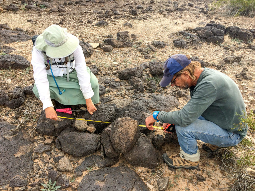
When I accepted a Preservation Fellowship with Archaeology Southwest (then the Center for Desert Archaeology) in 2006 to study Hohokam petroglyphs in Phoenix, I had been to southern Arizona on just two prior occasions—once on a cross-country drive from Ohio to the southern tip of Baja and again for a very hot week of CRM fieldwork near Yuma in June. At that time, I didn’t know anything about the Sonoran Desert, saguaros…anything about southern Arizona, really. And I honestly didn’t have a clue about Hohokam archaeology or petroglyphs, either.
Although I was quite deficient at the start of my doctoral program, since then I haven’t really looked at archaeology in any place outside southern Arizona. And slowly but surely, over the past 15 years, my studies have kept me moving farther west and into lower and lower elevations. For the past several years I’ve been focused on the Great Bend of the Gila, a complicated cultural landscape south and west of Phoenix. This stretch of river covers some of the lowest country in the entire Southwest, from 850 feet above sea level (asl) at Buckeye to about 400 feet asl near Dateland.
And just when I thought I couldn’t get much lower, this past fall I took a trip to the San Diego Museum of Man to examine Malcolm Rogers’s collections from the Bouse Site, a site later partially excavated by Michael Harner and one for which I’m preparing a final report some 70 years after the fact. While driving back to Tucson, and after a short stop at the Begole Archaeological Research Center (which has helped fund my work with the Bouse materials) at the Anza-Borrego Desert State Park, I took a scenic detour around the Salton Sea.
The Salton Sea lies within the basin of ancient Lake Cahuilla, a major aquatic resource base for Patayan and later Kumeyaay and Cahuilla communities in the westernmost reach of the Sonoran Desert. I had been reading a lot about Lake Cahuilla because it factors prominently in discussion of the Patayan World, questionably the same archaeological tradition we see continuing east and into the Great Bend of the Gila. Some of the most recent and substantive Patayan archaeological research has taken place at sites around Lake Cahuilla’s former shorelines, so I wanted to experience this environment and compare it to where I’ve been working as of late.
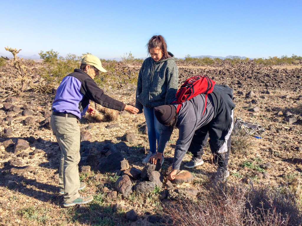
The Salton Sea lies at 226 feet below sea level. It is the second lowest point in all of North America, surpassed (or suppressed?) only by Death Valley. Standing there on its shore, literally above water but below sea level, I felt that I had finally reached rock bottom, the lowest point in my life; but heck, it was a beautiful day, and it is a beautiful place, albeit one with a strange air about it. Perhaps the highlight of my Salton Sea excursion was a brief visit to Obsidian Butte on its southern shore. As its name implies, this volcanic landform provided a source of obsidian important to the regional economy.
Sometimes I joke to myself that if my career trajectory continues in the same direction it’s been going, in another 20 years I’ll be an underwater archaeologist working off the coast of Mariana Islands—maybe not a bad way to retire? After all, the Marianas Trench is the deepest (i.e., lowest!) point on the Earth’s surface. (Did you know that in 2009 President George W. Bush used his authority under the 1906 Antiquities Act to establish the 95,216-square-mile Marianas Trench Marine National Monument? This is the first entirely underwater national monument, and it is about 50 times larger than the original size of Bears Ears National Monument that proved to be so controversial.)
I have considerably more work to do with Patayan archaeology before I can put on my scuba suit and flippers, though. For the past two years I’ve been devoted also exclusively to the Lower Gila River Ethnographic and Archaeological Project (LGREAP). This effort is providing a great deal of insight into the Patayan World that I hope to share over the coming years as I write up the project’s results. I must say I am very pleased with where my career choices have led me, despite the low places where I now find myself.
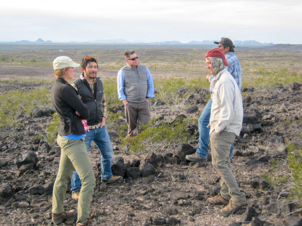
But my fulfillment isn’t just due to the archaeological work I’ve been doing. As a desolate stretch of rural country between Phoenix and Yuma, the lower Gila might seem a lonely place to passers-through and day-trippers who see industrial-scale alfalfa farms interspersed by wide tracts of barren plains or a dry river bed. Sure, very few people live there, and only a handful of archaeologists have ever really looked around there. But my experience hasn’t been a lonely one—quite the contrary.
I’ve made a lot of new friends while working along the lower Gila River. These include some of the Arizona Site Stewards who monitor many of the archaeological sites that make this area incredible. They also include dedicated Archaeology Southwest volunteers who have helped me on various projects in and around the Great Bend of the Gila. And there are the various archaeological and historical communities interested in what the Great Bend has to offer, to whom I’ve enjoyed giving tours and presentations. It also includes other “desert rats” who’ve been tromping around southwestern Arizona for many more years than me, all the while investigating the curious aspects of this landscape.
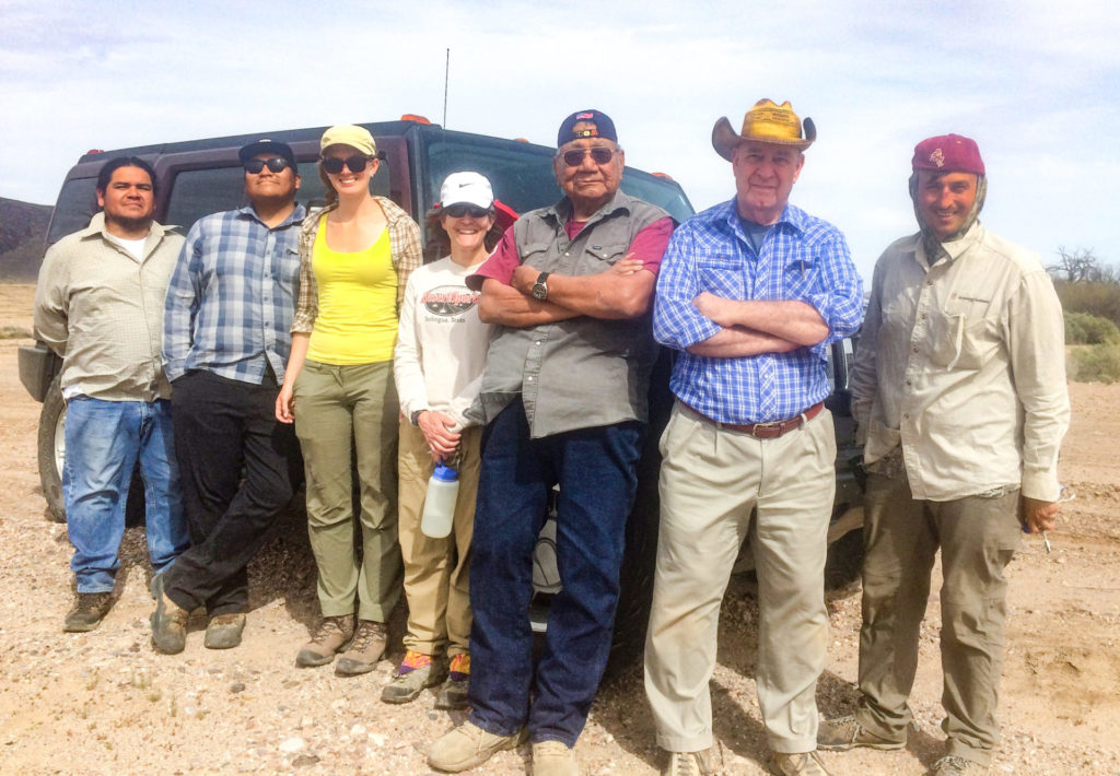
What I’ve really enjoyed about all of this, though, is learning about the many Indigenous communities who consider the Great Bend and the rest of the lower Gila as ancestral territory. This realization hit me like and “aha” moment while working on the ethnographic study for the proposed Great Bend of the Gila National Monument. In that effort, I was able to meet with cultural authorities and elders from 11 tribes with historical, cultural, and ancestral ties to this landscape, and those meetings planted the seeds for what has grown into several rewarding professional relationships.
I’ve heard some anthropologists joke among themselves that archaeology attracts the socially awkward types—people who want to study people without having to actually interact with people. Though that may be the case for some, the best part of archaeology for me is working with the people who truly care about what I’m doing. At the forefront of these stakeholders are the people for whom it really matters what I write, not to mention what happens to the places I “find” and things I “discover.” Of course, I’m talking about the Indigenous descendant communities whose ancestors created much of what I find so interesting and awe-inspiring about the Great Bend of the Gila.
My experience working with descendant communities along the lower Gila River was a major impetus for LGREAP. Indeed, the E in LGREAP, the “ethnographic” part, is very intentional because the project is actually a collaboration with five tribes. So far the project has been almost exclusively invested in the A part (“archaeology”), but as that wraps up this spring I plan to engage the tribal collaborators in earnest as we move into the post-fieldwork stages of synthesis and interpretation. But tribal communities have also been involved in the fieldwork because the National Endowment for the Humanities grant that is making LGREAP a reality has enabled Archaeology Southwest to hire tribal members as archaeological field assistants.
If you follow the Preservation Archaeology blog, you may recall a post shared by Skylar Begay, a member of the Navajo Nation, near the end of the first LGREAP field season. Ida Jose, Keija Koteen, and Charles Arrow—all members of the Fort Yuma Quechan Indian Tribe—participated last season, as well. In fact, Charles found the experience interesting enough to stick with the project for several months through increasingly hot petroglyph documentation as we pushed into late April of 2019.
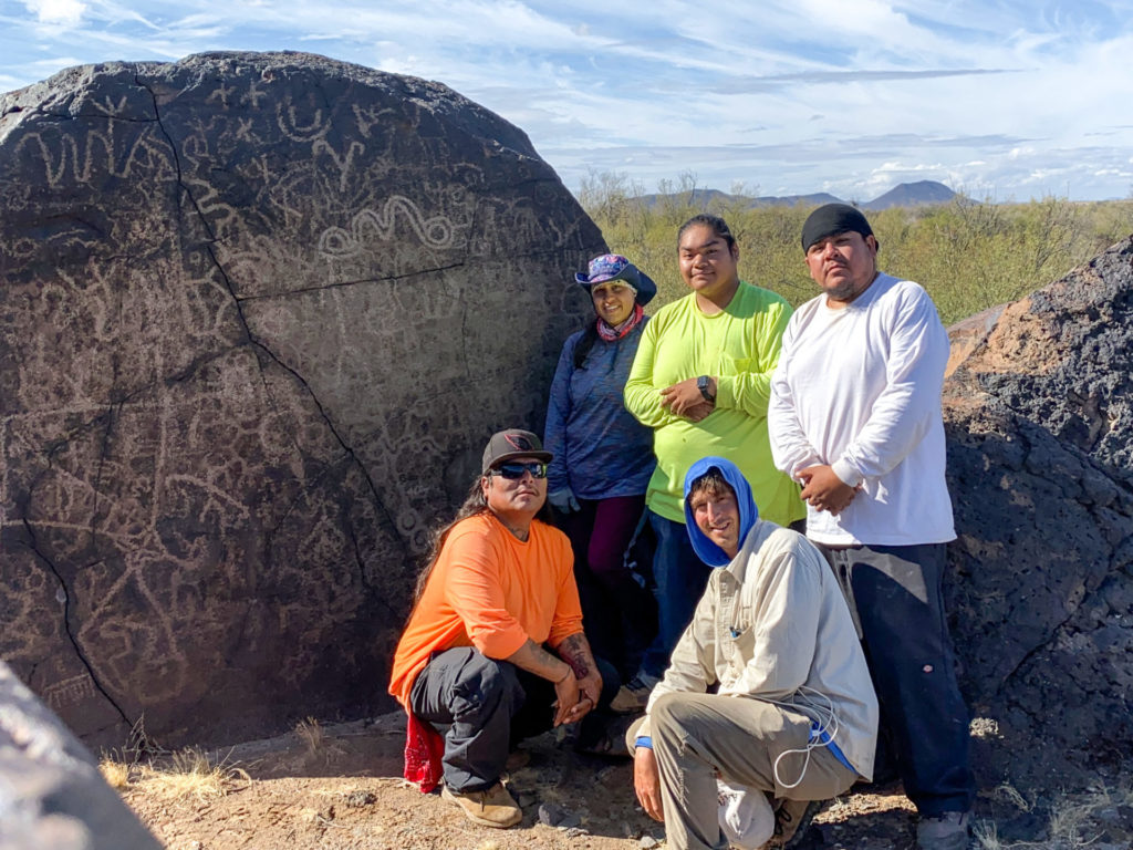
LGREAP’s second season of fieldwork began in September 2019, and since then (six months and counting) I’ve been joined by four remarkable Quechan field assistants. These include Charles—who enjoyed the first season so much he decided to come back—Keahna Owl, Jason Andrews, and Zion White. And since September the five of us have been documenting site-after-site along the lower Gila River. We’ve laid out several miles of grid lines across Patayan and Hohokam village sites; we’ve flagged and analyzed nearly 15,000 pottery sherds; and we’ve sketched, photographed, and inventoried nearly 10,000 petroglyphs. In short, we’ve accomplished a lot.
I’m quite proud of the 2019–2020 field crew and everything they’ve done for LGREAP. We’ve spent hundreds of hours together in the field, and hundreds more around the campfire back at our camp. I know that they’ve learned a great deal about archaeological fieldwork, and through our conversations I’ve learned a lot about them, their dreams and aspirations, and their opinions and perspectives. In the coming weeks, the Preservation Archaeology blog will share a series of posts entitled “Focus on the Field Crew” in which I introduce each member of this season’s field crew and share their own words. I’ve been so fortunate to learn with them and from them, and I hope through these posts you will sense why.
This three-year study was awarded a Collaborative Research Grant from the National Endowment for the Humanities (RZ-255760). The NEH is an independent federal agency created in 1965. It is one of the largest funders of humanities programs in the United States and awards grants to top-rated proposals examined by panels of independent, external reviewers. Any views, findings, conclusions, or recommendations expressed in this study do not necessarily represent those of the National Endowment for the Humanities.
