- Home
- >
- Preservation Archaeology Blog
- >
- Experiencing and Understanding the Landscape of Pe...
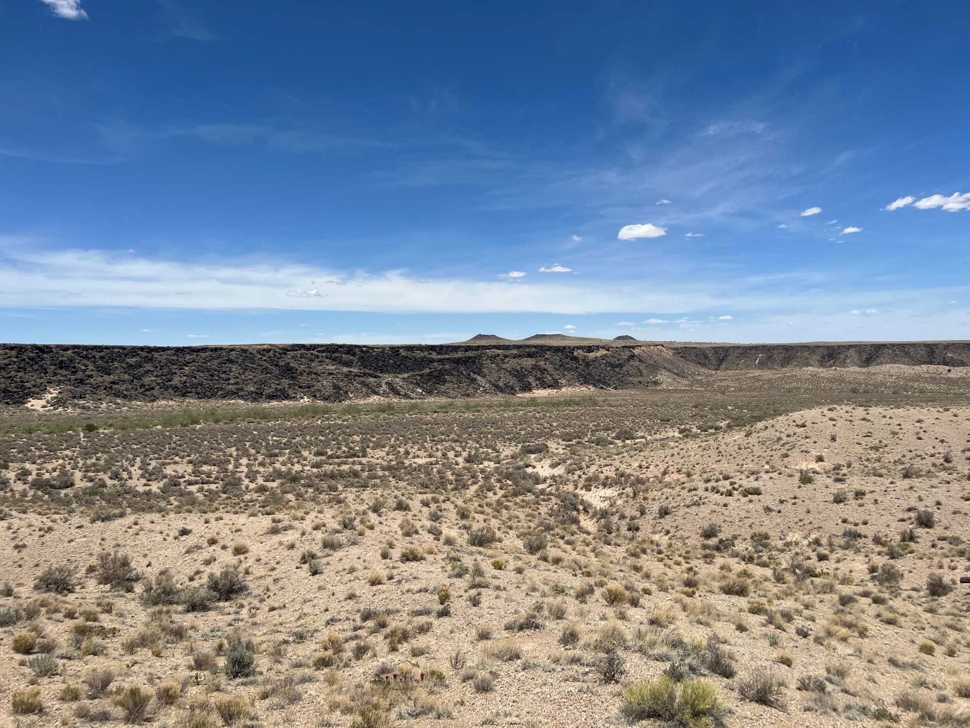
(August 30, 2022)—Archaeology Southwest is preparing an Indigenous Cultural Landscape Report (ICLR) for Petroglyph National Monument (Monument), located within the city of Albuquerque and Bernalillo County, New Mexico. The Monument encompasses a sizeable portion of Albuquerque’s volcanic West Mesa.
Per the Task Agreement with the National Park Service, the ICLR will provide documentation, analysis, and assessment of the character-defining features of this highly significant cultural landscape (Part I). It will also provide appropriate treatment recommendations to help guide future management decisions so as to ensure the preservation of these cultural and natural resources (Part II). The Indigenous aspect of this project derives from the National Park Service (NPS) and Archaeology Southwest’s intentions to rely on data and perspectives shared by the monument’s 29 traditionally associated Pueblos and Tribes to help guide the goals, objectives, and final report for this project.
The ICLR team comprises Preservation Archaeologist Paul Reed, Project Director and Principal Investigator; Anthropologist/Preservation Archaeologist Aaron Wright, PhD, rock imagery and cultural expert; Lia Griesser, consulting Landscape Historian and Ethnobotanist; and Kurt Anschuetz, PhD, consulting Anthropologist/Archaeologist.
In May 2022, we completed a week of fieldwork in the Monument. Our primary goal was to visit as many landforms and archaeological site locations as possible to develop a better understanding of this landscape. We also wanted to experience the Monument’s landscape together and begin the process of understanding the transformation of the area over time.
In the sections that follow, individual team members discuss their roles on the project and share their experiences during the May fieldwork.
Paul
In my work as a southwestern archaeologist and New Mexico resident for more than 35 years, I’ve worked many places in the Four Corners states. I’ve been through Albuquerque many times and had briefly visited Petroglyph National Monument, but never spent more than a couple hours walking around. Our week in the Monument opened my eyes to the diverse cultural sites and landscapes across the area. I am very excited to continue our work on this project and look forward to the completion of the ICLR.
Kurt
I had the privilege of serving as the team leader for an Ethnographic Landscape Report (ELR) for the Petroglyph National Monument 20 years ago. I now have the honor and privilege of Archaeology Southwest inviting me to be part of its team preparing the ICLR for the Monument these many years later.
I live on Volcano Mesa near Petroglyph National Monument, and I have taken many hikes within and around the Monument since the early 2000s. I have examined many classes of cultural resources that connect the Volcano Mesa and the Monument with the Rio Grande, the Sandia Mountains, Mt. Taylor, and beyond to form a dynamic and compelling cultural landscape.
In working with Indigenous and traditional Hispanic community members over the years, I have learned that although all archaeological resources are cultural resources, not all cultural resources are archaeological in nature. Archaeologists, anthropologists, and cultural resource managers, such as myself, rely on engagement with members of associated cultural communities to recognize, describe, and evaluate non-archaeological resources, including traditional cultural properties, important to their fellow citizens.
You might be curious—what are CLRs and ICLRs, and how do they differ? You might even ask why an ICLR is now needed if an ELR has been completed. Without digging deeply into the weeds of often specialized lexicon and matters of sometimes subtle meaning for answers, we can turn to the NPS for relevant working definitions.
According to the NPS, a cultural landscape is “a geographic area (including cultural and natural resources and the wildlife or domestic animals therein) associated with a historic event, activity, or person, or that exhibit other cultural or aesthetic values.” Along with historic sites (sites that are significant for their association with events or persons, or both), historic designed landscapes (landscapes representing artistic creations, such as parks, campuses, and estates) that manifest recognized design styles, and whose use, construction, and layout expresses cultural values and illustrates people’s patterns of land use, and historic vernacular landscapes (landscapes whose use, construction, and layout expresses cultural values and illustrates people’s patterns of land use), an ethnographic landscape is a principal cultural landscape type.
In its simplest definition, ethnographic landscapes contain “a variety of natural and cultural resources that associated people define as heritage resources” (NPS 2000). The NPS’s Applied Ethnography program, however, offers an expanded definition that informs us more about what ethnographic landscapes are and what they do. NPS staff tell us that an ethnographic landscape is
…a relatively contiguous area of interrelated places that contemporary cultural groups define as meaningful because it is inextricably and traditionally linked to their own local or regional histories, cultural identities, beliefs, and behaviors. Present-day social factors such as a people’s class, ethnicity, and gender may result in the assignment of diverse meanings to a landscape and its component places (Evans et al. 2001).
In its application, then, the ELR to which I contributed two decades ago broadly examined the ways with which associated diverse communities—including the self-identified 29 Native Pueblos and Tribes of the northern Southwest that have traditional ties to the Monument (henceforth Indigenous), as well as Hispanic and Anglo-European groups—have created and sustained meaningful associations with the Petroglyph National Monument. Our purpose also illustrated how the landscape approach encourages and enables cultural resource managers to consider more fully the cultural-historical traditions through which peoples of culturally different communities occupy and modify their traditional homelands, materially and conceptually, in their own terms.
Although the ELR provides important contexts for the development and implementation of management tools appropriate to and sensitive of general layers of ethnographic landscapes with the Monument, the scope of work neither provided an examination of the historical evolution of the landscape and its significant features, nor a comprehensive treatment plan that the NPS can use to inform future management decisions for the Monument. The NPS Task Order specifies that the ICLR shall
- Apply an explicit focus on the cultural resources within the Monument important to the members of the 29 Indigenous communities that maintain cultural associations with the Monument
- Provide NPS managers with the ability to sensitively manage and protect cultural resources, including the petroglyphs, assemblages of archaeological artifacts, features and sites, pathways, agricultural lands, volcanos, lava flows and tubes, caves, waterways, plants, animals, and expansive viewsheds important to their respective citizenries to avert their further degradation and loss in the face of rapidly mounting pressure of residential and commercial development of the City of Albuquerque’s West Mesa
- Construct an informed foundation for managing the greatly increasing use of the Monument by visitors from the surrounding metropolitan area, the State of New Mexico, the greater Southwest, the United States generally, and other countries.
Twenty years ago, I learned that the Petroglyph National Monument, as part of the Albuquerque’s Volcano Mesa, was an exceptional and highly significant multi-layered cultural landscape. Since this time, and having worked—as an archaeologist and cultural anthropologist—on large studies of the Rio Chama, Santa Fe, and Cochiti-Kewa archaeological districts of the Northern Rio Grande, the Valles Caldera and the surrounding portions of the Jemez Mountains, the Western Keres Culture Province, the Mt. Taylor Traditional Cultural Property, the Greater Chaco Landscape, and the Hueco Tanks Texas State Park, my respect for, estimation of the values inherent in the Volcano Mesa landscape, and, yes, even my love for this place, have only grown. The rich, varied assemblages of cultural resources, whether they are of cultural or natural origin, are integral elements of a place that people truly talk about.
I am excited to engage again with this landscape, as well the descendant communities that continue to maintain associations with this place and the resources that their ancestors have interacted with since time immemorial, as part of Archaeology Southwest’s team, to provide the NPS with information and tools that they can then use to protect one of the cultural landscapes, which, in my opinion, underscores and informs New Mexico’s claim as a Land of Enchantment.
Aaron
In our approach, the cultural landscape of Albuquerque’s West Mesa—also known as Ceja Mesa—consists not just of the material cultural resources, but also the biophysical contexts in which they are situated, as well as those in which cultural resources are absent. It is a holistic view that aims to deconstruct the discipline’s typical distinction between “cultural” and “natural” phenomena that is all too often at odds with Indigenous ontologies (ways of understanding existence). Through the endeavor, we want to understand the Indigenous cultural value, understanding, and significance of this landscape, and this means assessing the land and everything upon it, whether it is archaeological or not. To do this, our fieldwork needed to place equal emphasis between the archaeological properties and the landscape in which they are embedded.
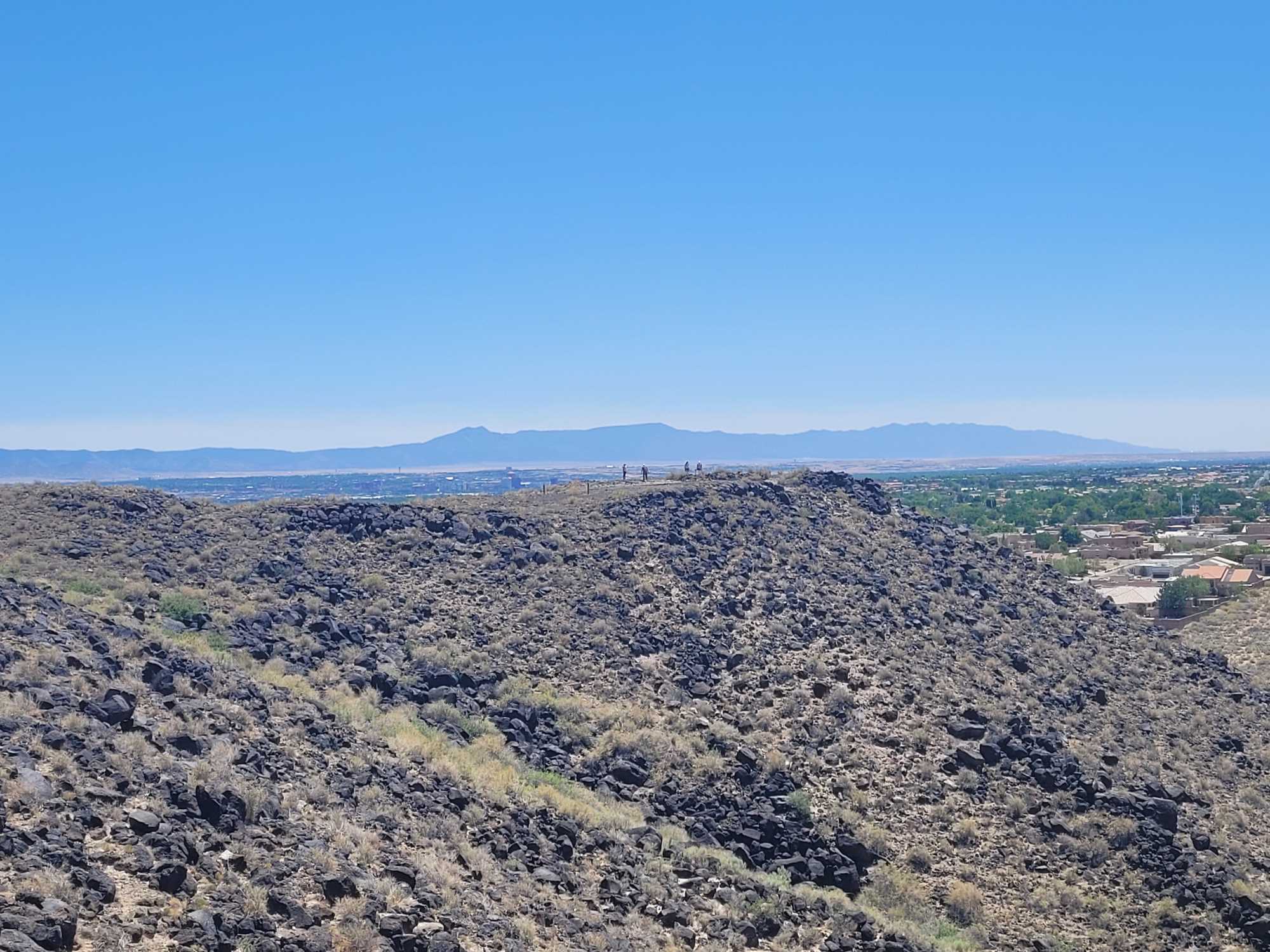
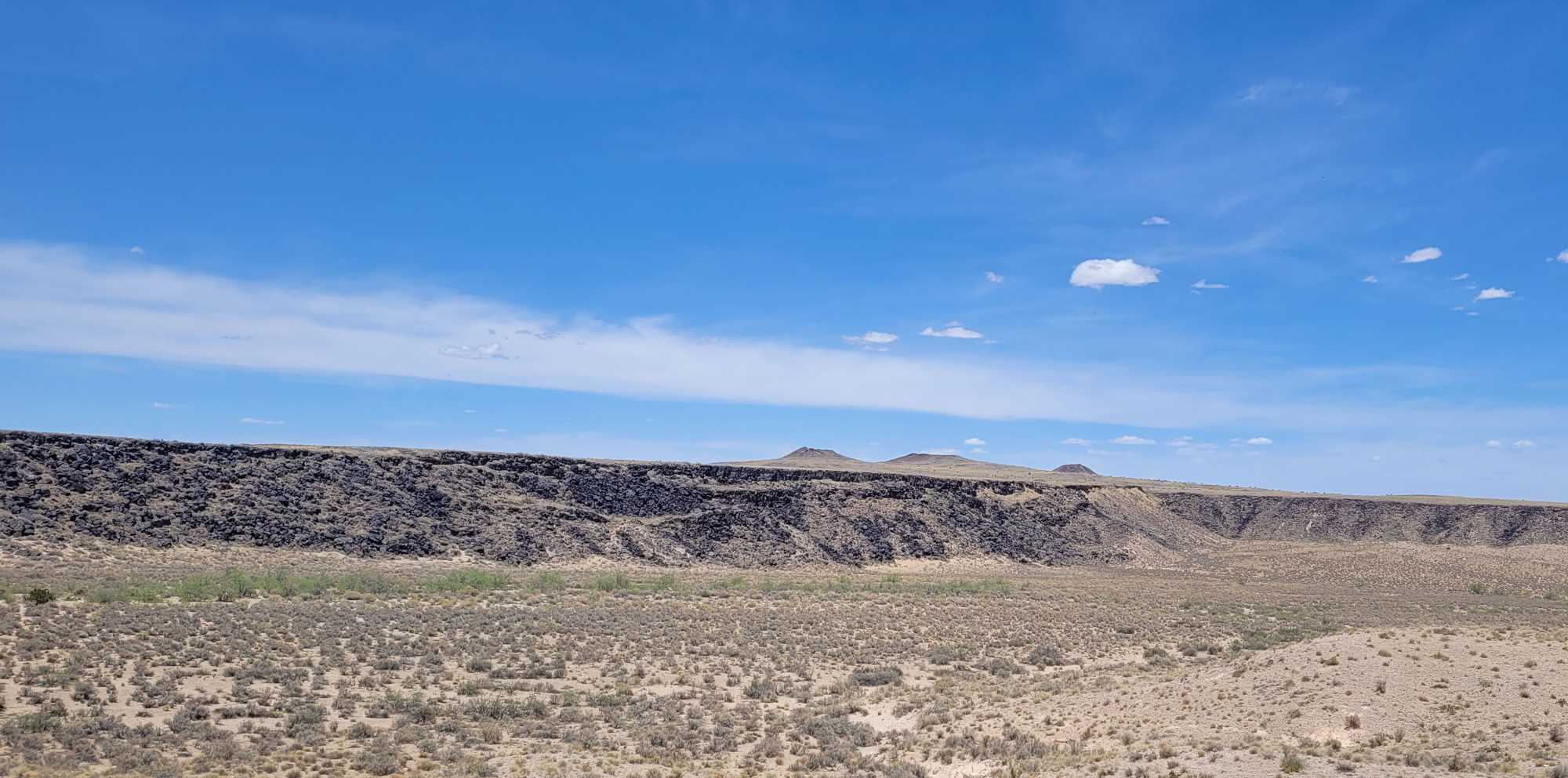
From a Western science perspective, the West Mesa can be viewed as the product of geological processes, primarily volcanism. Approximately 130,000 years ago, volcanic activity produced six volcanic cones and a sloping plain of cooled lava. This lava overlies the Ceja Formation, a zone of weakly consolidated sedimentary rocks that serves as the uppermost level of the Santa Fe Group in this section of the Albuquerque Basin. Although whole, this landscape consists of different topographic and textural settings. These include the volcanos and basalt plain, but also aspects of these, such as the 17-mile-long escarpment whose cliffs and talus support the tens of thousands of petroglyphs for which Petroglyph National Monument is known. There are also caves and vents in the volcanic rock, and the arroyos drain into canyons that are set into the escarpment. Running between the volcanoes and canyons, the arroyos are the conduits of flow and movement through this landscape.
And there are the “geologic windows.” These are areas where profiles of the basalt plain’s inner texture and that of the sands and gravels upon which it rests are exposed in the shallow canyons of the North and South Boca Negra Arroyos. The basalt cap near these windows is relatively thin, which suggests there may have once been small hills around which the molten lava flowed. These hills have since eroded, leaving gaps, or windows. The arroyos have continued to cut into these windows, stretching and deepening them. This has created secluded areas set below the basalt plain and seemingly inside the earth.
We suspect these different facets of the West Mesa constitute unique dimensions of the broader cultural landscape. This is certainly attested to by the types of cultural resources present (and absent) and their patterning across the landscape. And getting a better sense of this was the objective of our fieldwork.
Generally, landscape-focused archaeological investigations must rely on samples to represent the whole because rarely have entire landscapes been surveyed and inventoried. This is not the case with Petroglyph National Monument. Nearly the entirety of it was previously surveyed by professional archaeologists. So, the existing dataset on the types and distribution of cultural resources within it is quite comprehensive, and there is no need to “fill in the gaps” or otherwise speculate or interpolate as to what may or may not be present in certain settings.
Given the thoroughness of the existing information, it was not feasible, nor necessary, to revisit each and every known cultural site in the Monument. We instead chose to visit a subset of sites from each setting to get a sense of how it all fits together. The antiquity of cultural sites in the Monument ranges from the Paleoindian period to the present, and we visited places representing this entire spectrum. In all, we visited approximately 50 sites, including petroglyph localities, quarries, residential areas, rockshelters and caves, trails, and various rock features.
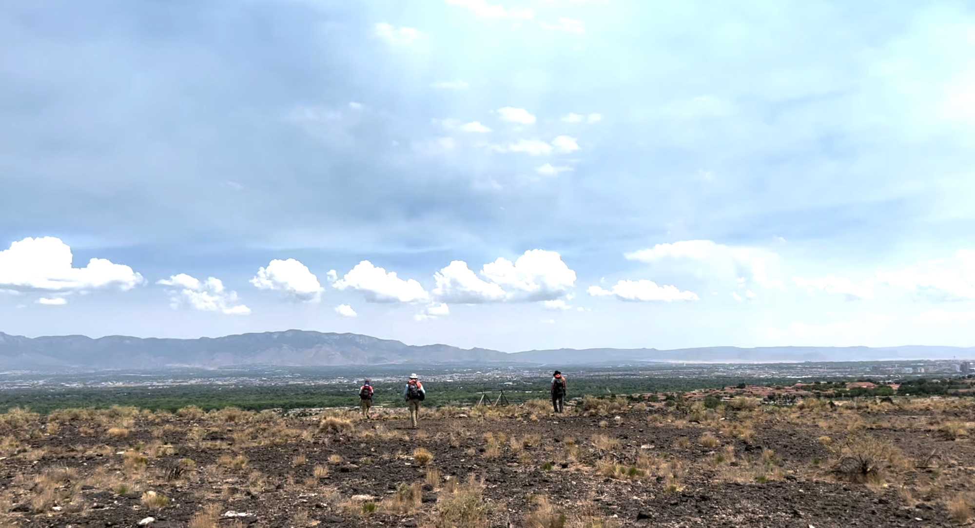
An equally important aspect of our fieldwork involved reaching these places. Rather than drive to places, we chose to walk this landscape, which is the way people moved about it until quite recently. We walked up and down arroyos, through canyons, over basalt plains, and along the escarpment. It was about educating ourselves about this landscape through presence and bodily experience.
Anthropologists of landscape know that the sensorial element of being in and moving through—seeing, hearing, feeling, smelling, etc.—is elemental to the research and ultimately the interpretation of the results. In all, we walked about 40 miles to reach the 50 sites, and this journey took us to each canyon and corner of the Monument. Getting to see this landscape in this way and with great colleagues, and having the opportunity to meet and learn from the descendants of those who helped shape this place over millennia, is why I love what I do.
Lia
When I moved from Tucson to Albuquerque for graduate school, I regularly visited Petroglyph National Monument for sunset walks with my dog after classes. I find the landscape extraordinary from the macro to the micro. I was thrilled when the opportunity came up to help create an ICLR for the Monument. My background is in ethnobotany (the study of bioregional traditions of human-plant relationships), landscape architecture, and historic preservation. All three disciplines coalesce to support my work on this team: interpreting landscape change over time, creating visuals to assist in landscape-knowing, and providing recommendations for care that support Indigenous tenets for protection of cultural resources.
To set the stage, the Monument features soft variation in color tones: light straw-yellows in the many dried grasses, warm whites in silt and sand, and infinite shades of grey in dormant shrubs. Such a gentle palate creates a stunning backdrop for the heavy black basalt of the volcanic escarpment. During summer rains, the land can metamorphosize in an instant. Desert millipedes, Orthoporus ornatus, and Slate millipedes, Comanchelus chihuanus, crawl out of their burrows at the base of boulders to travel the land. Water weaves through cracks in stone, transporting sediment before your eyes. Flowers spring forth from shrubs that seemed altogether dead—such as the Broom Dalea, Psorothamnus scoparius, a three-foot-tall pale bundle of sticks that ignites with hundreds of tiny orchid-like indigo blossoms. What once looked drab becomes a theatre of dynamic light, rich color, and fractal geometries. Seeing how the land is roused with just a touch of water brings reverence to what life is always there, just below the surface.
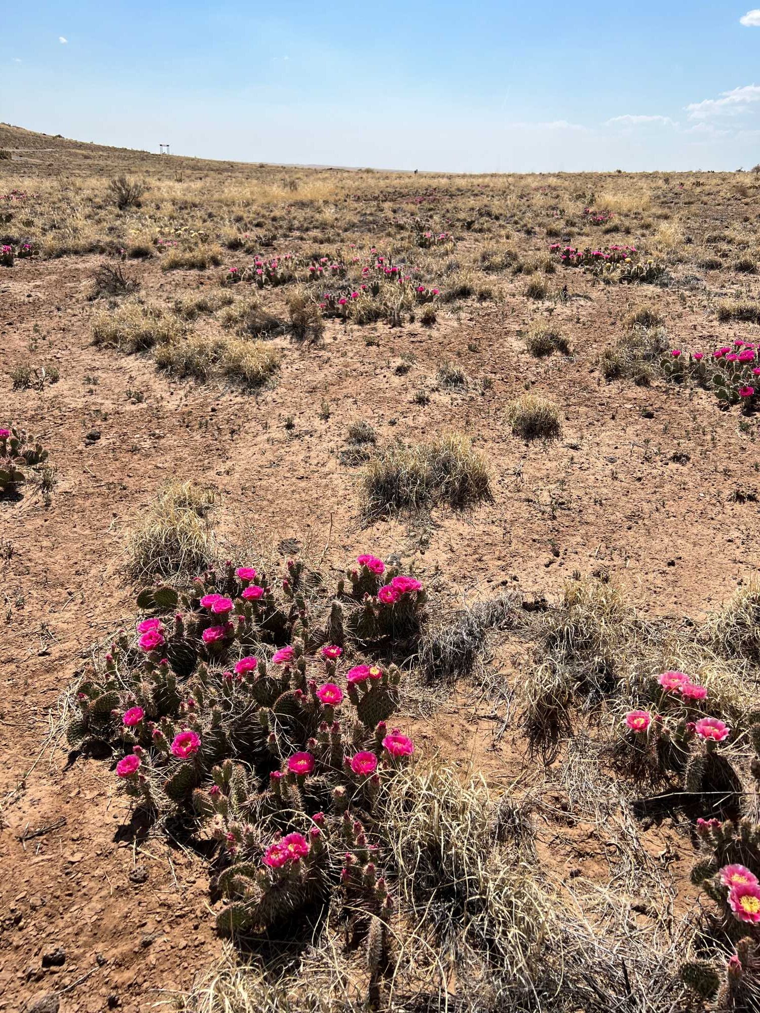
Along our fieldwork, as Aaron Wright mentioned previously, we aimed to reunite the “cultural” and “natural” by placing equal emphasis on archaeological properties and their surroundings. As an example, although petroglyphs are charismatic cultural and archaeological resources, they exist in relationship to a network of life that brings them into context. During my time walking around the city of Albuquerque, in the foothills of the Sandia Mountain to the east, or in the Middle Rio Grande wetlands, I’ve rarely seen Desert Tobacco, Nicotiana obtusifolia. Yet, on our field work at Petroglyph National Monument, we found the plant growing at most of the sites we visited. Tobacco has traditionally been used as an offering, as a communicator between worlds, and it is not uncommon for it to reseed where it has been placed. While a petroglyph’s life is more consistent than an annual plant’s from one season to the next, the cultural relationship maintained through the offering of tobacco may be seen as equally integral to the site’s significance. Therefore, Tribal access to make offerings may be just as important as preservation of the rock imagery itself.
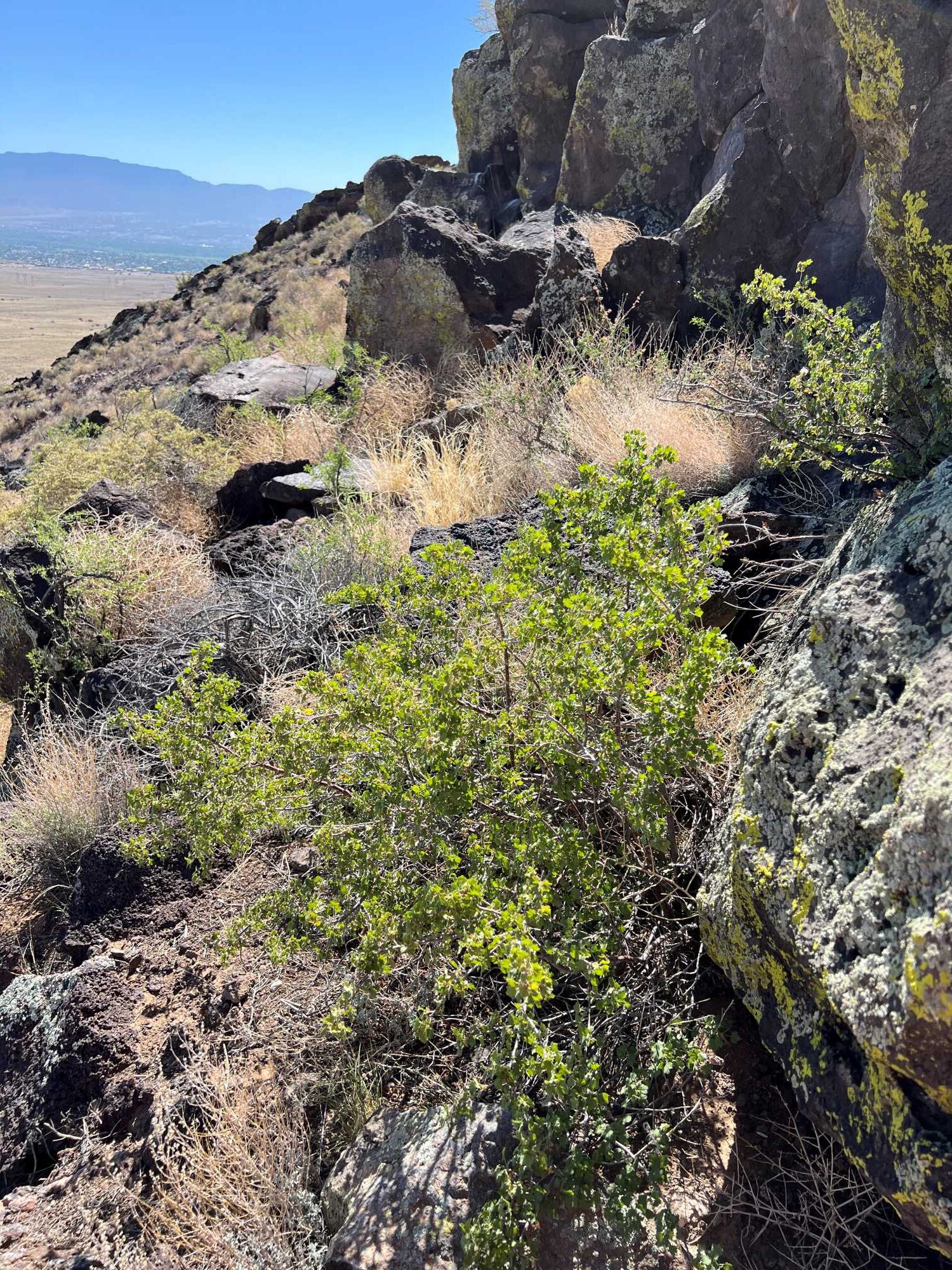
Plants are commonly transported by humans and react in specific ways to human disturbance on the land. As we walked, we found Wax Currants, Ribes cereum, sprung out of nearby sheepherding shelters, perhaps grown from seeds spit out long ago. Fields of wolfberry, Lycium pallidum, the desert relative of the more well-known goji berry, grew only over ground that showed clear signs of earlier human disturbance. When aiming to preserve a landscape, these floral signifiers may be seen as just as important as static material cultural artifacts. Through their very existence in time and location in space, these plants both enact and contextualize cultural relationship.
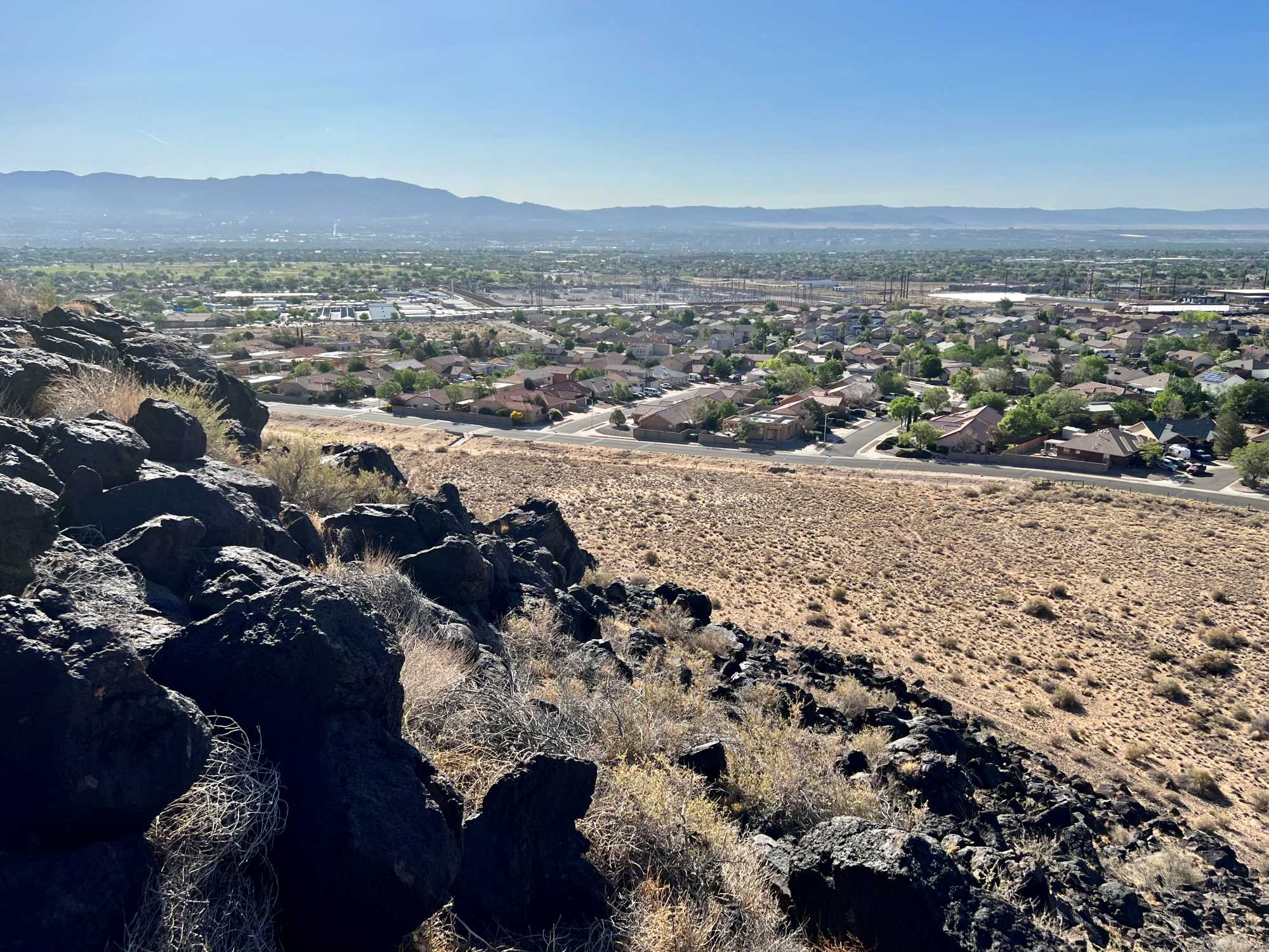
During our fieldwork, we traversed up and down the basalt escarpment repeatedly and were often surprised to come upon new housing developments where we’d never have expected them. It’s clear housing developments have moved ever closer to the Monument over time. What is still to be analyzed, though, is how that steady encroachment has affected cultural resources, be they static (rock imagery, shelters), living (plants, soil), or quickly moving (animals, weather). Some effects are easily noticed from a Western ontological understanding, such as rapid changes in sedimentation and erosion, but there are many more ephemeral conditions that are just as consequential to maintaining the integrity of significant cultural resources, such as viewsheds, air quality, and noise pollution.
Looking Ahead
In the making of an Indigenous Cultural Landscape Report, what stands out to us, the Archaeology Southwest team, is only a beginning. What matters most is how associated Tribes with cultural ties to this landscape feel about it, and how we’re able to incorporate Indigenous concerns into our work and our final report in service to the many generations to come.
References from Kurt:
Evans, Michael J., Alexa Roberts, and Peggy Nelson, 2001, Ethnographic Landscapes. CRM 24(5):53–56.
National Park Service, 2000, Defining Landscape Terminology. Guidelines for Treatment of Historic Landscape Initiative, p. 2. Historic Preservation Services, National Park Service. Electronic document. http://www2.cr.nps.gov/hli/hliterm.htm.
3 thoughts on “Experiencing and Understanding the Landscape of Petroglyph National Monument”
Comments are closed.
What a great team you have assembled! Listening to the indigenous voices will add so much. Looking forward to the report and opportunities to go beyond the usual visitation.
Thank you, Chris. I am excited to see how this project unfolds !
I read that the report was tasked to “Apply an explicit focus on the cultural resources within the Monument important to the members of the 29 Indigenous communities that maintain cultural associations with the Monument”.
Is any one on your team a member of those 29 Indigenous communities ? If not, why?